Background
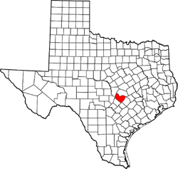 Travis County, Texas
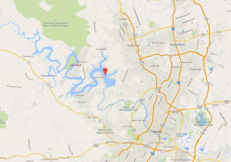
Texas has always been known for its dry climate and low water supply but in recent years this has progressed to extremes. Focusing on the study area of Lake Travis in Travis County TX, we are able to see first-hand what a combination of environmental and human factors are having on the water supply.
When looking at lakes in Texas, it is important to understand that there are very few naturally occurring lakes or bodies of water that are not influenced by man-made devices. With that being said, Lake Travis is no exception. Originally part of the lower Colorado River, just west of the city of Austin, Lake Travis was no more than another stretch of the river. But in 1937 a dam was built which backed up the water in the Colorado River to form Lake Travis. This is not the only reservoir along the Colorado River though. Along with Lake Travis, the other lakes include: Buchanan, Inks, LBJ, Marble Falls, and Austin. Combined they are known as the Seven Highland Lakes and they provide one of the few locations that is able to hold enough water to support the area.
When looking at lakes in Texas, it is important to understand that there are very few naturally occurring lakes or bodies of water that are not influenced by man-made devices. With that being said, Lake Travis is no exception. Originally part of the lower Colorado River, just west of the city of Austin, Lake Travis was no more than another stretch of the river. But in 1937 a dam was built which backed up the water in the Colorado River to form Lake Travis. This is not the only reservoir along the Colorado River though. Along with Lake Travis, the other lakes include: Buchanan, Inks, LBJ, Marble Falls, and Austin. Combined they are known as the Seven Highland Lakes and they provide one of the few locations that is able to hold enough water to support the area.
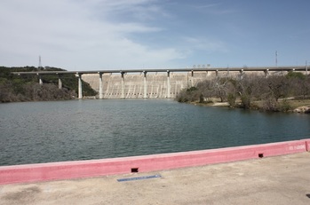 Mansfield Dam
The formation of Lake Travis is all due to the backing up of the Colorado River by the Mansfield Dam. The dam was finished in 1941 with the name Marshall Ford Dam but was later changed to Mansfield Dam in honor of United States Representative J.J. Mansfield. The Dam is 278 feet high, 7,089 feet long, and 213 feet at its thickest point. The main purpose of the dam was to provide flood control for the Lower Colorado River but it also serves as a reservoir and a way to generate power using hydroelectric technology.
